
Our solutions: detection and measurement
SCI Drones: seeing from above to take targeted action
Together with our partner SCI Drones, we map plastic waste using aerial imagery analysed by artificial intelligence. This technology allows us to pinpoint accumulation zones, target our interventions, and measure their effectiveness.
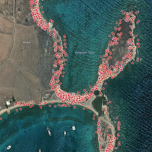
How it works
Detect, compare, verify
Aerial Survey
The drone captures images of the beach following a precise flight path.
Analysis
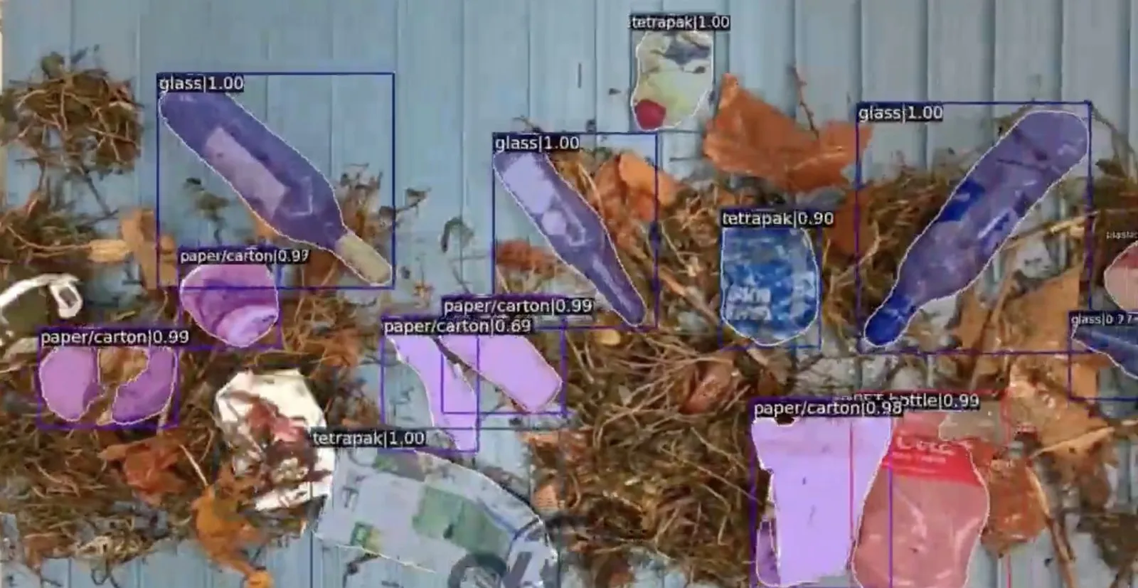
Artificial intelligence detects and maps waste across the captured images.
Cleanup
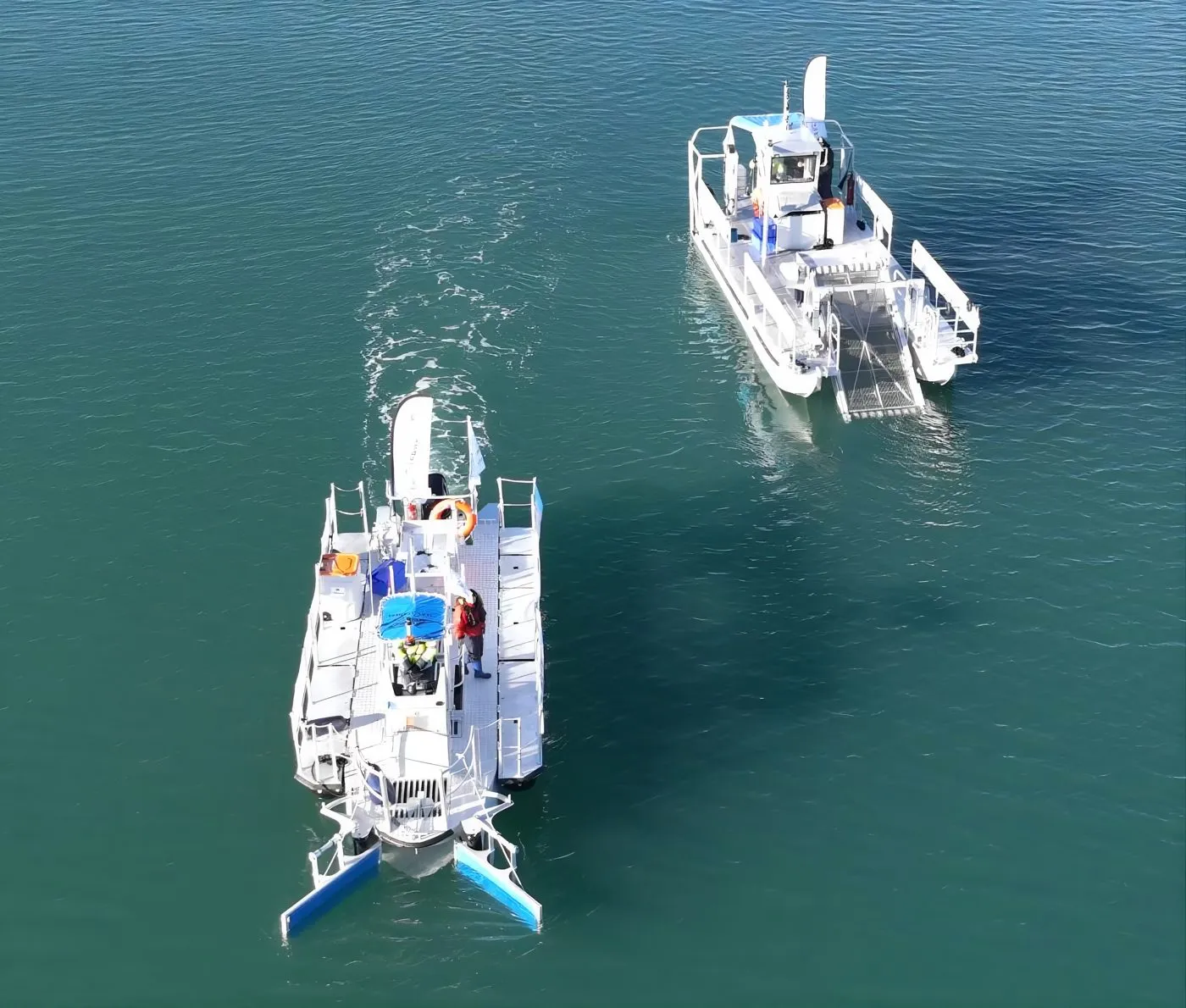
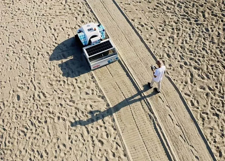
The BeBot and our teams deploy directly to the most affected areas.
Measurement
A second flight compares before and after, providing tangible proof.
Partnered with the BeBot
Demonstrable results
Initial deployment: Kota Kinabalu, alongside the arrival of the BeBot. Each cleanup operation is framed by two drone flights to accurately measure the treated surface area and the volume of waste collected.
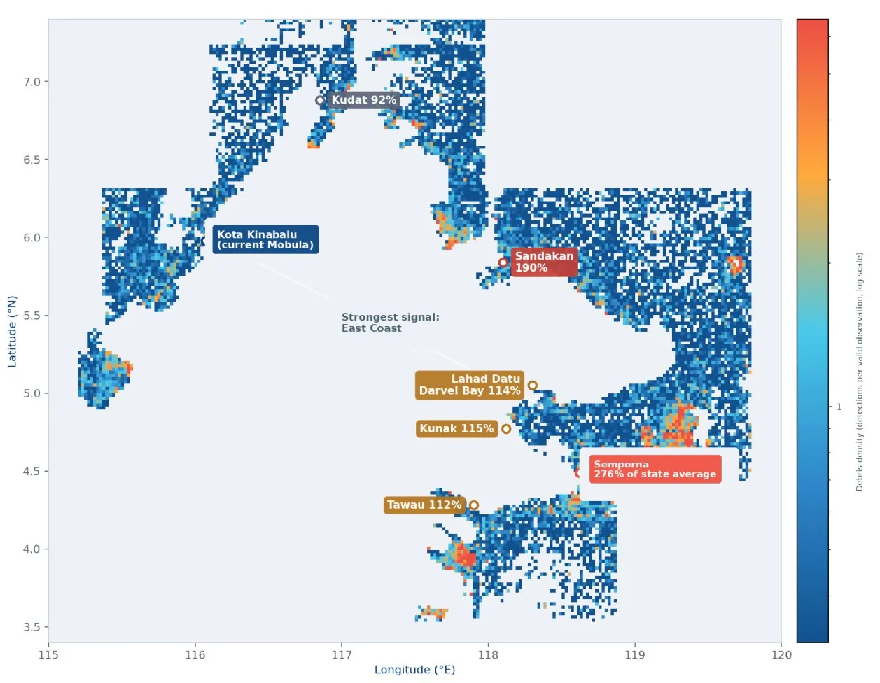
- ✓Pollution heatmaps to determine where to intervene
- ✓Longitudinal monitoring, beach by beach
- ✓Visual proof for our partners and donors


Our other solutions
A comprehensive chain, from detection to recycling
Measuring to inspire trust
Every donation also supports measuring our impact: it is our commitment to accountability, backed by concrete data and imagery.


